Park Slope Maps
From The Peopling of NYC
Park Slope: Delineated by 4th Avenue, Prospect Park West (9th Avenue), Flatbush Avenue, and 15th Street
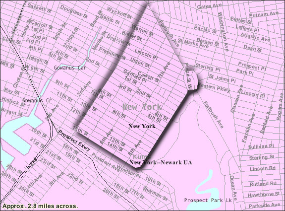
Census Tracks: 157, 155, 153, 151, 149, 141, 139, 137, 135, 133
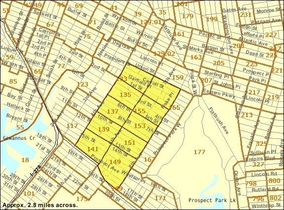
North Slope:East of 7th Avenue and North of 9th Street
South Slope: West of 7th Avenue and South of 9th Street

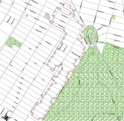
Park Slope as a Historical District
(First 3 images taken from http://factfinder.census.gov/jsp/saff/SAFFInfo.jsp?_pageId=referencemaps&_submenuId=maps_2)
Edited by Alice Franco
(Fourth image taken from http://www.nyc.gov/html/lpc/html/maps/maps_bklyn.shtml)